01
Drone Survey
High-resolution aerial mapping using drones for fast and accurate site data collection.
Precision in Every Measurement, Value in Every Project.

High-resolution aerial mapping using drones for fast and accurate site data collection.

Detailed mapping of natural and man-made features for design and planning purposes.

Verification surveys to record the actual positions of constructed works.

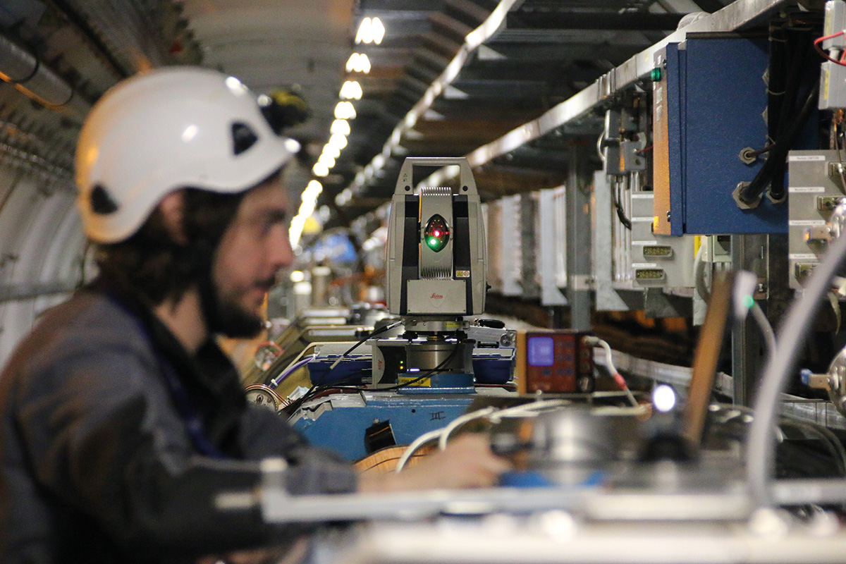
Establishing accurate survey control networks for boundaries and projects.

Collecting and managing geospatial data to support mapping and analysis.

Generating contour maps to represent ground elevation for design projects.

Marking and mapping borehole or drill point positions accurately.

Transferring construction design layouts precisely onto the ground.

Stub setting and alignment for transmission towers with accuracy.

Establishing reliable reference points using GPS methods for precision.

Creating survey drawings including plans, profiles, and cross-sections.

Providing skilled land surveyors with or without equipment on demand.

GPS, Total Stations, and Auto Levels available for daily or monthly rental.

Surveying pipeline routes, alignments, and levels for construction.
Surveying road alignments, gradients, and profiles for civil projects.

Surveying and marking alignments for electrical distribution lines.

Calculating stockpile volumes for sand, gravel, and other materials.

Precise volume and material quantity calculations for earthworks.

Boundary verification, marking, and area calculation for land plots.

Ground Penetrating Radar used to detect underground utilities and voids.

Measuring original ground levels and marking construction layouts.

Defining routes for roads, pipelines, and utility lines with accuracy.

Surveying overhead line routes and maintaining safe clearances.

Supporting landscaping and urban design with detailed site data.

Floor plans, elevations, and site layouts for residential and commercial buildings.

Surveying for airport runways, taxiways, and terminal infrastructure.
Alignment and positioning surveys for heavy machinery installation.

Setting out and verification of pile positions for construction foundations.

Surveying and laying routes for fiber optic, telecom, and underground cables.